Far North Rambles #20: Johnny D. Charlie Visitor Centre, Northwest Territories
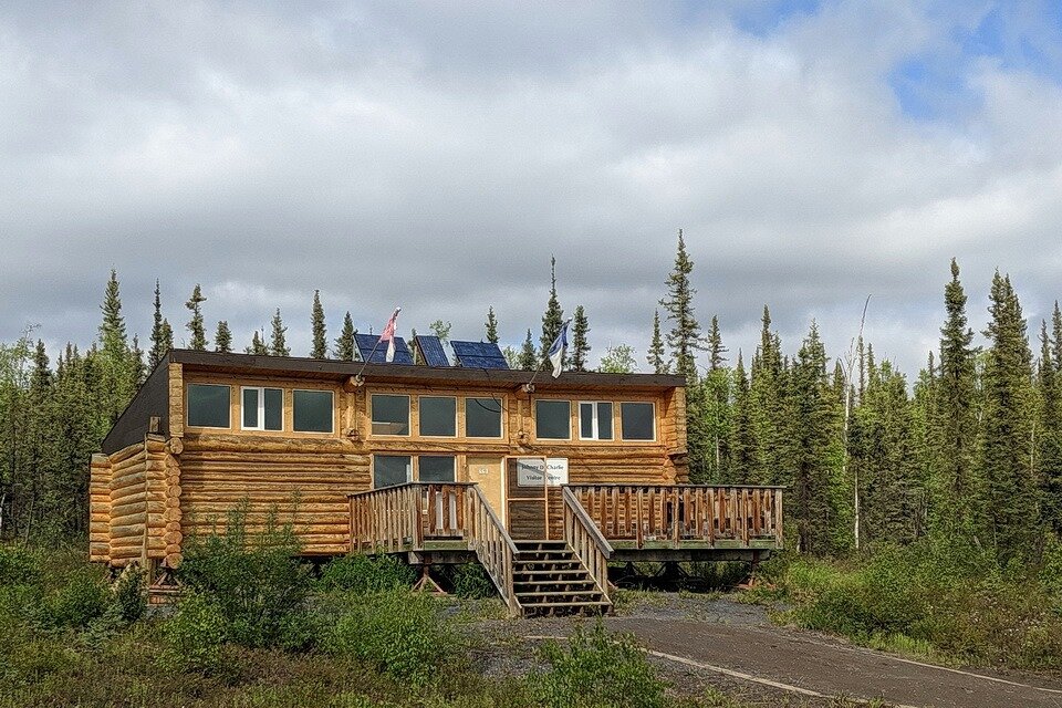
Just east of the Peel River and just a little south of Fort McPherson, Northwest Territories (NT), along the Dempster Highway, is the Nitainlaii Territorial Park, campground, and a fabulous information centre. The park is located 195 km (129 mi) south of Inuvik (NT), at the 541 km (Mile 336) point on the Dempster Highway which is 76 km after the Yukon/NT border crossing. The info centre (Photo 1), named the Johnny D. Charlie Visitor Centre, provides insights about the historic and modern activities of the Gwich'in Dene First Nation people.

Photo 1: The Johnny D. Charlie Visitor Centre, located just east of the Peel River, Northwest Territories (NT), along the Dempster Highway. The information centre provides insights about the historic and modern activities of the Gwich'in Dene First Nation people. Photo by Andy Fyon, June 15, 2019.
The info centre is named after Johnny D Charlie, son of Alfred Charlie (Tetlichi). Alfred moved from Old Crow (Yukon) to Fort McPherson (NT). Alfred traveled many times, by dog sled, between Old Crow and Fort McPherson to maintain family ties - a distance of 215 km (135 mi) straight line (longer by dog sled) over the Richardson Mountains! Alfred passed away in 1974, but his son, Johnny D Charlie, continued to make that trip with his own dog team and later on snowmobile (https://www.oldcrow.ca/johnnycharlie.htm). To ensure the trail system was not forgotten, in 1992, Johnny organized a trip involving 52 snow machines. The successful winter trip continued annually in the following years, with Johnny as the leader. Johnny D Charlie passed away on September 9, 1998. His family and community honoured him by continuing the trips to Old Crow and in the name of the info centre.
The park name "Nitainlaii" means "water flowing out in all directions" in the Gwich'in First Nation language. The Gwich'in named the park after the Peel River, which is an important transportation route and feeding and hunting grounds (https://www.ehcanadatravel.com/.../parks.../5635-inuvik.html).
When we stopped in 2007, the info centre was staffed by Robert Alexi (Photo 2), elder and source of much information (example, the movement of certain trees, not known to occur in the area historically, northward along the Mackenzie River valley over his lifetime, presumably reflecting the influence of climate change).
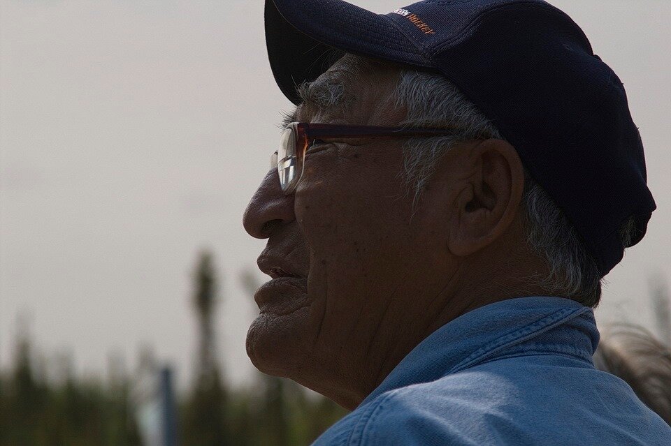
Photo 2: Elder Robert Alexi who staffed the Johnny D. Charlie Visitor Centre, just east of the Peel River, Northwest Territories. Photo composed by Andy Fyon, June 26/07.
When we stopped again in 2019, we met Robert's granddaughter (Photo 3: my record is incomplete on that day), who was also very knowledgeable about the area and her ancestors.
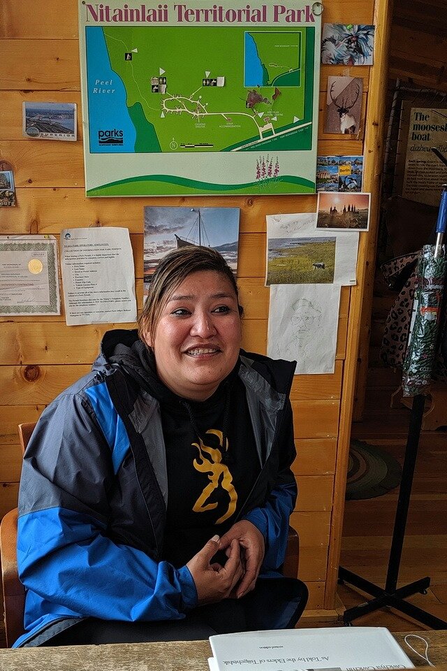
Photo 3: Grand daughter of elder Robert Alexi. In June, 2019, the granddaughter was the staff person at the Johnny D. Charlie Visitor Centre, just east of the Peel River, Northwest Territories. Photo composed by Andy Fyon, June 15/19.
The amount of information available to the small information centre is quite remarkable. It is well worth the stop to discuss the cultural perspectives with the staff person on duty.
Andy Fyon, Sept 25, 2020 (Facebook, June 21, 2020).
Have A Question About This Note?